Description
Product details
Product information
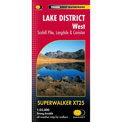
A detailed and durable map for hillwalkers exploring the western fells of the Lake District National Park, including Scafell Pike, the Langdale Pikes, and the areas west of the Kendal–Keswick road. It features popular walking areas such as Hard Knott and Wrynose Passes, Ennerdale, Wast Water, and Coniston Water, and includes all 74 Wainwrights found in this region. Printed at a clear 1:25,000 scale (4cm = 1km), the map covers an area of 709 square kilometres across both sides of the sheet. It is lightweight at just 60g and folds down to a compact 116 x 243mm size (flat size: 1392 x 486mm). Made from HARVEY’s tough, waterproof, and tear-resistant Superwalker XT paper, it opens directly to either side for ease of use and is simple to re-fold after use. Includes Rights of Way and features genuine HARVEY original cartography for reliable navigation in challenging terrain.
- Guarantee – Statutory
Features and benefits
- Covers Scafell Pike, Langdale & western fells
- Includes 74 Wainwright peaks
- Scale: 1:25,000 | Area: 709 sq km
- Flat size: 1392 x 486mm / Folded size: 116 x 243mm
- Waterproof, tough, lightweight (60g)


Reviews
There are no reviews yet.