Description
Product details
Product information
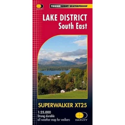
A detailed and durable map for hillwalkers, cyclists, and outdoor enthusiasts covering the south eastern area of the Lake District National Park at the popular 1:25,000 scale (4cm = 1km). With Lake Windermere at the centre, this map includes the surrounding areas of Ambleside, Kendal, and Coniston, making it ideal for exploring both lowland and upland terrain. The map also highlights the Grizedale Forest, a popular area for mountain biking, with Rights of Way clearly marked for planning walking and riding routes. Printed on HARVEY’s Superwalker XT material, the map is tough, light, durable, and 100% waterproof. It’s GPS compatible, opens flat to either side, folds easily, and can be used without a map case—less than half the weight of a laminated map. Perfect for outdoor use year-round.
- Guarantee – Statutory
Features and benefits
- Covers Windermere, Ambleside & Coniston
- GPS compatible & Rights of Way marked
- Waterproof, lightweight & durable (60g)
- Scale: 1:25,000 (4cm = 1km) & Area covered: 670 sq km
- Dimensions: Flat size: 1392 x 486mm / Folded size: 116 x 243mm


Reviews
There are no reviews yet.